Environment & Forestry Mapping
ENVIRONMENTAL MONITORING & OBSERVANCE OF FORESTS
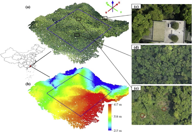
Faster and more accurate surveying using Photography and Lidar Technology. We provide a variety of mapping solutions to enable you make decisions quickly with some of the following services;
- Aerial Surveillance
- Mapping Aerial Photography
- Thermal Imagery
- Topographic monitoring
